Monday, October 28, 2013
Z_GIS at uni:hautnah 2013 - Science united now!
Z_GIS will attend as presenter at uni:hautnah in Austria's biggest Shopping Center "Europark" from November 7-9, 2013. Within this framework Z_GIS presents two projects:
The Project "Easy Rider" and Bicycle Map Salzburg and the YouthMap5020, and Integrating GIS Use in Education in Several Subjects.
More information to this event: uni:hautnah 2013
Friday, October 25, 2013
Kick-off meeting: GI-N2K: what is GIScience?
 Europe has set out for a shared answer to the above question with the kick off meeting of the ERASMUS network project "GI-N2K" in Leuven, Belgium. This project builds up on the first initiative of elaborate a reference document for the domain of Geographical Information Science and Technology by the consortium of US-universities (UCGIS) led by David DiBiase (2006). The result of this collaborative effort in the US was the GIS&T Body of Knowledge (BoK).
The BoK until today is an important reference document for curriculum development, certification and accreditation of GIS programmes on a worldwide level. Taking up on this pioneering work in the US, this ERASMUS project now has started amongst 31 European partners to develop a renewed BoK 2.0. Together with the complementary updating initiative of the UCGIS, the new BoK 2.0 will not only have an updated content, but it will be transformed into a dynamic wiki-based format. Z_GIS (Dr. Gudrun Wallentin, Director of Studies UNIGIS MSc ) will be responsible for analysing the workforce demand in Europe, to explicitly address the competences that employers of the geospatial industry need.
Tuesday, October 22, 2013
Round Table „Open Geo|Government Data“
„Open Geo|Government Data“ will be the theme of a Round Table chaired by Prof Strobl at the Austrian Academy of Sciences on November 14. in Vienna. Representatives from government, business and academia will share and discuss different viewpoints on how “open” is interpreted, and how different policies are affecting the future of geospatial developments.
Please find here more information about this event.
Friday, October 18, 2013
Z_GIS’ “Higher Education Projects Team”

Under the supervision of Prof. Strobl and Z_GIS’ “Higher Education Projects Team” various activities are devoted to capacity building in Geoinformatics education and research in Central Asia. The Tempus “GEM project”, coordinated by Z_GIS, had succeeded in establishing Geoinformatics MSc study programs at partner universities across Kazakhstan, Kyrgyzstan and Tajikistan, as well as interdisciplinary Geoinformatics courses at additional partners. In August, the final project meeting was held in Bishkek, the project has ended on October 14, 2013.
As one successor project, the GE-UZ Tempus project is considered a key initiative towards implementation of Geoinformatics study programs at Uzbek universities, addressing the increasing demand for geospatial experts across a variety of disciplines in this country. Z_GIS has accepted the leadership of the “Development of learning environment” and the “Educational network development” work packages. The project will also use the expertise of Z_GIS in the strategic aspects, in particular for capacity building. Currently a four-week workshop on GeoDBMS at the University of West Hungary in Szekesfehervar is training teachers from four Uzbek universities, 17 teachers will be trained on “Spatial Analysis” in November in Salzburg.
 Z_GIS currently is coordinating the Erasmus Mundus Action 2 project "gSmart - Spatial ICT Infrastructures for Smart Places" together with other EU partners. “gSmart” has started its mobility program already in this winter semester 2013, this initiative will focus on facilitating academic mobility in the field of Geoinformatics between European partners and universities in all five Central Asian countries. Further information is available on http://EM-gSmart.zgis.net/ . The kick-off Meeting will be held in Almaty, KZ from November 1-2, 2013. There we are hoping to welcome delegates from 19 partner institutions.
 Wednesday, October 16, 2013
The 3rd EnerGEO Summer School in Utrecht, Netherlands has started!

The 3rd EnerGEO Summer School which is dedicated to the “Environmental impact assessment of a transition to renewable energies” is currently held in Utrecht, The Netherlands from October 15 – 23 2013.
The Summer School is jointly organized by the Department of Geoinformatics – Z_GIS, Salzburg, and TNO Innovation for Life, Utrecht with support from the EnerGEO partners International Institute for Applied System Analysis (IIASA), MINES ParisTech, ARMINES, German Aerospace Center (DLR) and Research Studios Austria (iSPACE). The program is complemented by external experts from the European Commission, Netherlands Environmental Assessment Agency (PBL), Royal Netherlands Meteorological Institute (KNMI), National Institute for the Public Health and the Environment (RIVM) and the University of Nijmegen.

Participants from 9 different countries Brazil, Zimbabwe, Zambia, Nigeria, Ethiopia, India, Russia, Germany and the Netherlands with a background in academics but also coming from governmental institutions participate in the event. Lectures and hands-on sessions are dedicated to (1) models for assessing energy potentials, (2) environmental impact assessment, (3) life cycle analysis and (4) integrated assessment of renewable energy resource use.

The program is rounded off by interdisciplinary dialogues on the energy policy context and participation at the Final Event of the EnerGEO project, which will be held on October 24 -25.
The EnerGEO Project is funded by the EC’s Seventh Framework Programme (FP7, 2007-2013) under Grant Agremement Number 226364.
Tuesday, October 15, 2013
New young researchers join CHANGES project
 |
| CHANGES Work packages |
The platform will be based on open source software, which can be accessed through the World Wide Web, and will allow users to analyse the effects of different scenarios related to environmental changes in relation to planning. The SDSS represents a key component in the CHANGES project, as it will integrate the research results of the PhD candidates into a common deliverable.
The one-week kick-off meeting for the development of the SDSS took place in Perugia (Italy) at CNR in September 2013. A related workshop during that week was organized and held by Z_GIS.
Wednesday, October 9, 2013
GIScience Colloquia series
With October the Interfaculty Department of
Geoinformatics – Z_GIS re-launch its GIScience Colloquia series.

Ed Parsons, initially primary cartographer at Google,
now Geospatial Technologist of Google, opened the series with his interesting
talk, entitled: Mapping the world: From pizzas to portals
Ed
Parsons provided insights about how to utilise the benefits of Google's
geographical resources, as well as the future implications of geospatial
technology.
"In
the future, the map won't be a map”, is one provocative statements of his talk.
Adding a map to your website is now
a relatively trivial exercise, but the real value of geography comes when we
deeply embed location as an organising principle for all of
our information. A users location becomes a key contextual clue
in delivering services which are relevant, timely and useful to
individuals.
Tuesday, October 8, 2013
EO-based services to support humanitarian operations: Project Kick-off meeting @ Z_GIS
October 1 marked the launch of the FFG project EO4HumEn. Next to three academic partners (Univ Salzburg, Z_GIS and Dep. of Geography and Geology, as well as Univ Tübingen), the project involves Doctors without Borders (MSF, Section Austria) as one of the world-leading NGOs in the humanitarian aid domain.
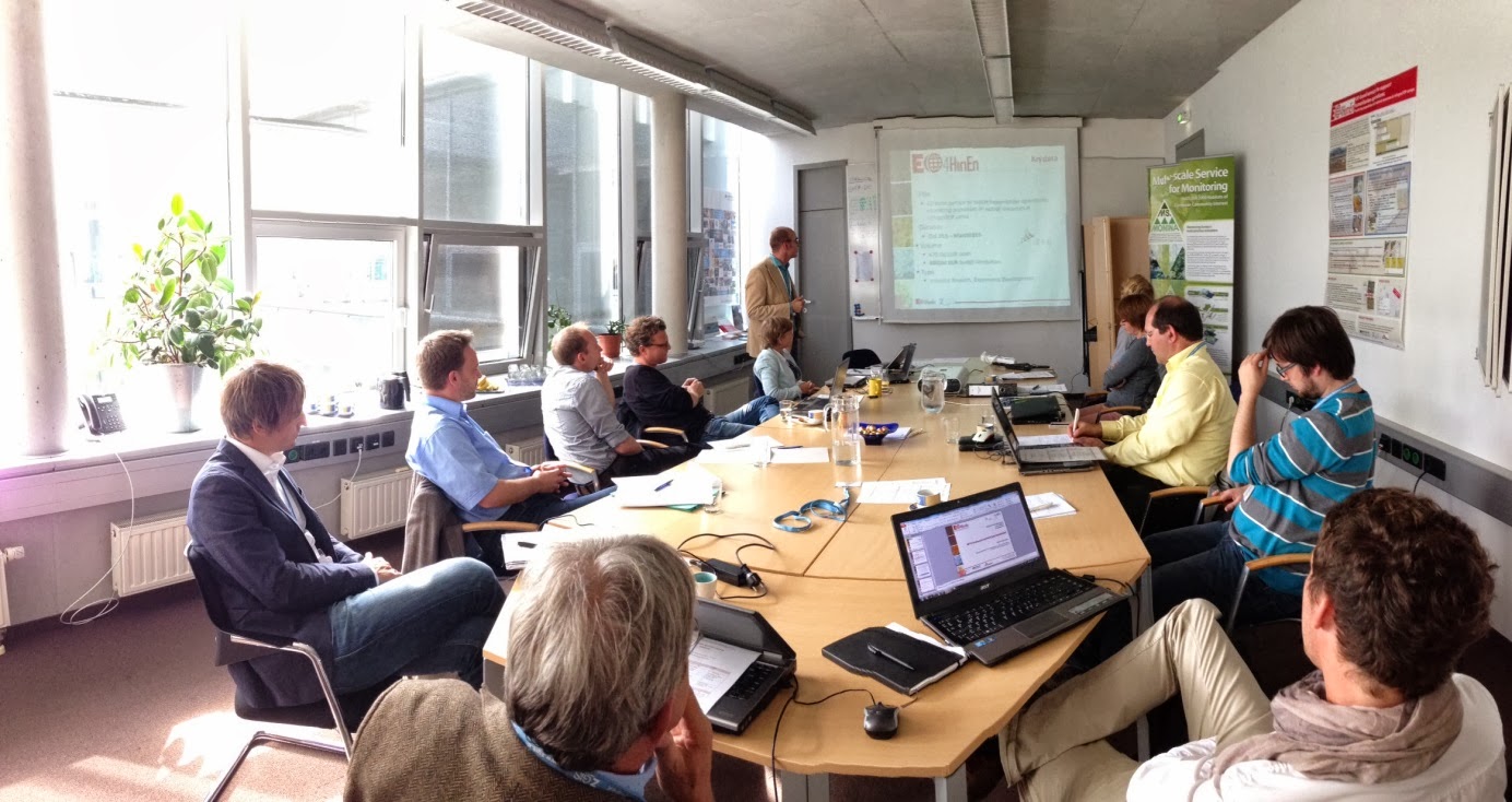
EO4HumEn will provide operational services and dedicated geo-spatial information products derived from Earth observation (EO) and GIS data. The ASAP-9 funded 30-months project was kicked off Monday, 7 Oct 2013 in Salzburg at Z_GIS premises (Techno-Z).
Sunday, October 6, 2013
Z_GIS Invited to 1st Int'l Conference of APG, India!
 The Interfaculty Department of Geoinformatics - Z_GIS was invited to contribute to the 1st International Conference of Association of Punjab Geographers
held on 4th and 5th October, 2013 in Kurukshetra, India. The theme of
the conference was 'Disasters, Natural Resource Management and
Socio-Economic Development' and it was hosted by the Department of Geography at Kurukshetra University,
Haryana, India. The 2 days conference attracted about 400 participants,
primarily Geography teachers and students, from different parts of
India as well as from abroad.
The Interfaculty Department of Geoinformatics - Z_GIS was invited to contribute to the 1st International Conference of Association of Punjab Geographers
held on 4th and 5th October, 2013 in Kurukshetra, India. The theme of
the conference was 'Disasters, Natural Resource Management and
Socio-Economic Development' and it was hosted by the Department of Geography at Kurukshetra University,
Haryana, India. The 2 days conference attracted about 400 participants,
primarily Geography teachers and students, from different parts of
India as well as from abroad.
Dr. Shahnawaz represented Z_GIS in the conference and gave opening presentation in the plenary session. He spoke on the theme of 'A Capacity Building Framework for Spatial Analysis of Environmental Vulnerability in Southeast Asia' and also discussed about various types of activities Z_GIS has implemented in the region under this framework during last 10 years. He also gave a lead presentation entitled 'Reliability of Census Data for Socio-Economic Analysis - A Case Study of Tribal Population in India'. The ideas conveyed through both the presentations were well received and the contributions of Z_GIS in Geospatial capacity building were highly appreciated by the organisers and the audience.

During the valedictory session, among other topics, several eminent scholars emphasised that GIS and Remote Sensing have become an integral part geography and there is a need to increase the content of these fields in geography curricula at various levels of studies.
Subscribe to:
Posts (Atom)