Hermann Klug, project leader of the Z_GIS Landscape Lab in Koppl, offered guided tours through the research field to visitors. He presented the single sensors used for analyzing the changing environmental conditions. The Landscape Lab from a bird´s eye view was another highlight: Sebastian d'Oleire-Oltmanns demonstrated how unmanned aerial vehicles (UAVs) are used for analyzing the terrain from above.
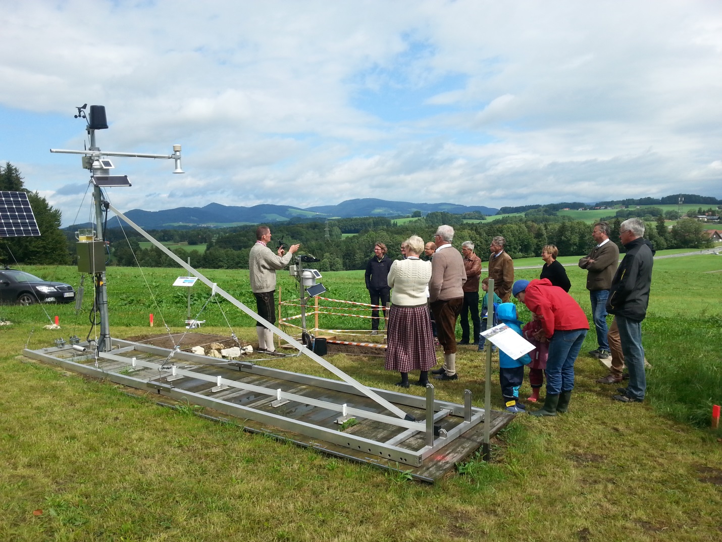 |
| Hermann Klug, Z_GIS (left), at one of the guided tours through the observation station |
No comments:
Post a Comment