The 2017 Joint Urban Remote Sensing Event (JURSE 2017) was organized along with the GIS and Remote Sensing Annual Scientific Forum (GRASF 2017) in Dubai from March 6-8. JURSE elucidates innovative methodologies and technological resources employed to investigate the manifold aspects of the urban environment through satellite and airborne remote sensing.

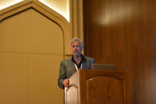
Professor Thomas Blaschke, vice-president of the Society of Geoinformatics, GeoIT and Navigation, held a key note presentation at GRASF on “Big Earth data”. He gave an engaging and fast-paced keynote address, arguing that while the amount of readily accessible remote sensing information is mounting, it is flat-lining when it comes to thirty years old concepts of downloading and processing image by image. He recommended more efforts be devoted to more intelligent, context-based image analysis and he introduced a concept developed at the University of Salzburg in a joint effort between the Departments of Geoinformatics and Computer Science based on data-cubes.

Professor Blaschke also conducted a special session on “Integrated analysis and monitoring approaches for livable cities at JURSE which investigated how spatial technologies can help urban planning to measure, monitor and ultimately improve liveability of cities and within cities. Among other speakers, PhD Candidate Pablo Cabrera-Barona presented an epistemological GIScience framework based on new economic approaches. In his talk “From the ´Good Living´ to the ´Common Good´: What is the role of the GIScience?” he discussed spatial indicators that can be linked to indicators used within these new economic approaches, with a focus on urban quality of life. His presentation was so well received by the expert audience that Pablo received invitations for further talks.

No comments:
Post a Comment